Dispatch a Survey Pilot
Enter your site details below. We will review your acreage, confirm pilot availability in your state, and send a secure payment link to initiate your 48-hour CAD delivery.

Advanced Geospatial Intelligence.
CAD-Ready in 48 Hours.
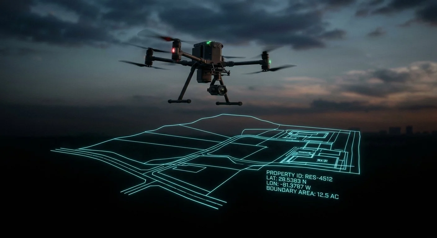
The legacy surveying model is dead. We dispatch certified local pilots across all 50 states, using centimeter-accurate photogrammetry, LiDAR, and algorithmic data processing for developers, GCs, and civil engineers.
View Pricing & DispatchWhy Pay $5,000 for a Tripod?
The old industry is bottlenecked by manual labor, aging surveyors, and 4-week delays. We replace the tripod with a 15-minute drone flight and AI processing.
| Metric | Legacy Surveyor | DataX Intel |
|---|---|---|
| Turnaround Time | 3 - 5 Weeks | 48 Hours |
| Average Cost (10-25 Acres) | $3,000 - $7,500 | $499 - $1,000 Flat |
| Data Density | Hundreds of spot measurements | Millions of data points (Point Cloud) |
| Site Disruption | High (Crews on site for days) | Zero (15-min autonomous flight) |
| Deliverables | Paper/2D CAD only | CAD + 3D Model + Volumetrics + GeoTIFF |
The Data Package.
Every job includes a comprehensive ZIP file containing engineering-grade deliverables ready for your team.
CAD & DWG Files
Directly compatible with AutoCAD and Civil 3D.
- Feature extraction (hardscapes/softscapes)
- Utility markings (if visible)
- Contour lines at 0.1ft intervals
Orthomosaic Maps
Centimeter-accurate 2D site imagery (GeoTIFF).
- Stitched from thousands of overlapping photos
- Total site visibility
- Measure distances directly on the image
3D Models & DSM
Digital Surface Models for advanced analysis.
- Textured 3D Mesh (OBJ/PLY)
- Stockpile calculations
- Drainage and slope analysis
Volumetric Reports
Exact cut/fill calculations for material ordering.
- Know precisely how much dirt/gravel to move
- Reduce material waste and budget overruns
- PDF report included for stakeholders
From Click to CAD in 3 Steps.
No phone calls. No scoping meetings. A fully automated engineering dispatch system.
Book & Pay
Select your site size and pay securely. Enter the site address and project deadline in the intake form.
We Fly & Process
We dispatch a certified local pilot in your state. They fly the site and upload raw data to our cloud.
Download Data
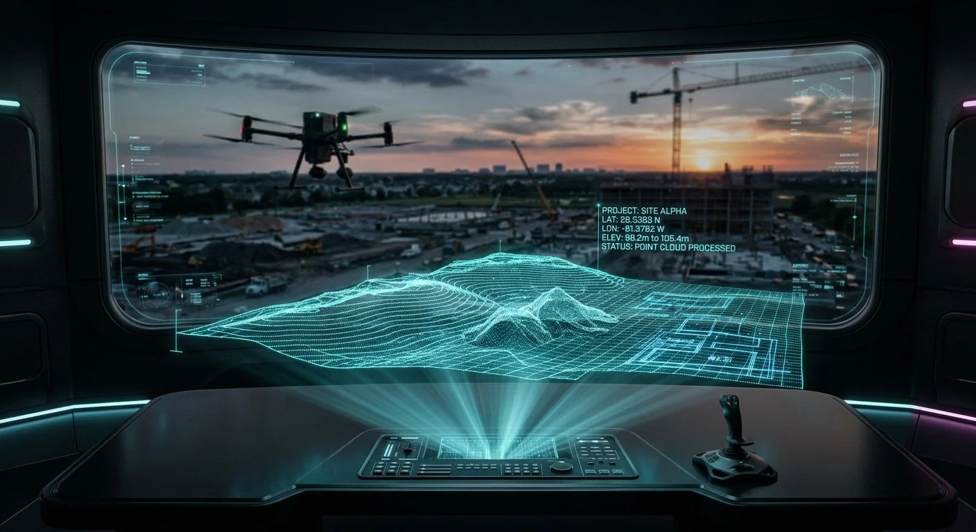
Our algorithms process the data into CAD, 3D, and Volumetrics. You receive your ZIP file in 48 hours.
Engineering-Grade Accuracy.
We don't just take pictures. We build digital twins of your site using RTK/PPK technology and Ground Control Points.
RTK / PPK Positioning
Real-Time Kinematic and Post-Processed Kinematic GPS ensure that every pixel is georeferenced to within 1-2 centimeters of absolute accuracy.
Ground Control Points (GCPs)
For projects demanding survey-grade verification, we place physical targets on the ground and measure them with GNSS receivers to anchor the data.
Structure-from-Motion (SfM)
Our software uses advanced SfM algorithms to detect thousands of tie-points across overlapping images, reconstructing a highly precise 3D point cloud.
LiDAR Integration
For sites with dense vegetation or complex structures, we deploy LiDAR sensors that use laser pulses to penetrate foliage and map the bare earth.
Nationwide Dispatch Pricing.
No hourly rates. No hidden travel fees. Flat rates per site, valid in all 50 states.
Starter Map
- Up to 10 Acres
- High-Res Orthomosaic (GeoTIFF)
- Basic Topo Contours (PDF)
- 48-Hour Delivery
Engineering Topo
- Up to 25 Acres
- Full CAD/DWG + Topo File
- High-Res Orthomosaic (GeoTIFF)
- 3D Model + Volumetrics
- RTK/PPK Ground Control (GCPs)
- 48-Hour Delivery
Commercial / LiDAR
- Up to 100 Acres
- Everything in Engineering Topo
- Dense Point Cloud / DSM
- Priority Dispatch & 48-Hour Delivery
Need Multispectral/NDVI (Agriculture) or >100 Acres? Contact for Enterprise Pricing.
Frequently Asked Questions.
Do you serve all 50 states?
Yes. We have a network of certified Part 107 pilots across the United States. Once you book, we dispatch the nearest pilot to your site.
Are the files ready for AutoCAD / Civil 3D?
Absolutely. We deliver standard DWG/DXF files, along with GeoTIFFs and point clouds, directly compatible with your engineering software.
What happens if it rains on the day of the flight?
We monitor weather conditions closely. If weather prevents safe flight, we reschedule the dispatch immediately at no extra cost to you.
Do I need to provide Ground Control Points (GCPs)?
No. Our pilots are equipped to lay down and measure GCPs on-site if your project requires absolute centimeter accuracy.
How is this faster than a traditional surveyor?
Traditional surveyors measure points manually. Our drones capture the entire site in one 15-minute flight, and our software processes millions of points overnight.
Dispatch a Survey Pilot
Enter your site details below. We will review your acreage, confirm pilot availability in your state, and send a secure payment link to initiate your 48-hour CAD delivery.